Agricultural value chains electrification: A Modelling Tool to Assess Potential Investment in the Ag-Energy-Water Nexus Case study: Nigerian rice value chain
By: Matias Küstner TFE
Access to reliable and clean energy is one of the key challenges that inhibit development of the agricultural sector in poor and developing countries. The modernization of manual and fossil-based agricultural practices through clean energy access is a core element for poverty reduction. However, commercial investment is still inaccessible for the majority of the sector and investors struggle to make a profitable case when approaching such high risk opportunities. Investment decision making relies more and more on accurate and data-driven indicators; satellite imagery coupled with analytical tools such as Geographic Information Systems (GIS) are unlocking new ways of extracting high-impact information.
A geospatial model has been developed that considers the Agri-Energy-Water nexus from a value chain perspective, standardises processing methods and offers market-driven outputs which can serve as the first step for identifying and de-risking investment opportunities.
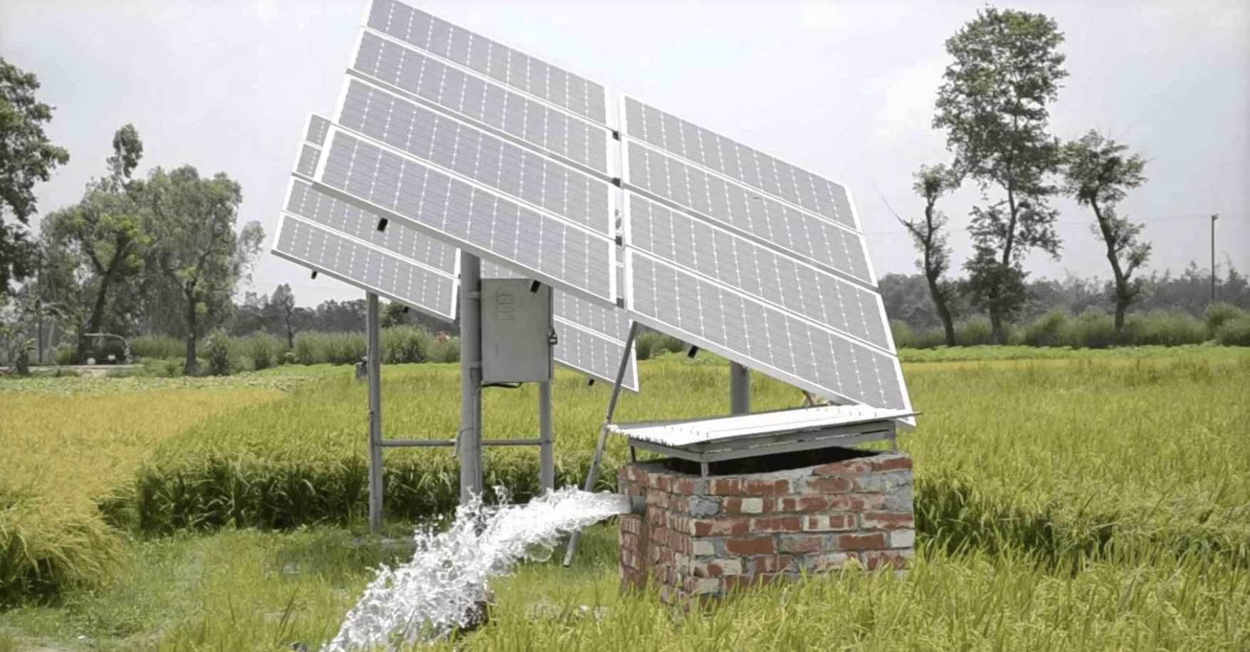
The model is meant to be replicable across countries and agricultural value chains and allows the processing of raw geospatial datasets to obtain the spatial distribution of energy requirements for the electrification of prospective irrigation and crop processing activities.
Furthermore, it offers the ability to extract economic indicators through a techno-economic feasibility assessment to map the areas with the highest potential for electrification. The Nigerian rice value chain has been used to validate the model.